|
|
|
Day 28: 13 March 2005 |
Standedge to Mossley |
Map Next Top |
Click once on photos to enlarge
 |
|
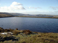
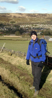
My brother Roger was to join me for the day's walk: welcome company for a change. This would also simplify the transport arrangements, as we met at the Standedge car park, drove to Carrbrook (near Mossley) and left one of the cars then returned to Standedge before commencing the walk. Roger was on time, and we were able to begin walking just before ten o'clock.
The first section reminded me how spoilt I'd been to have a major long distance footpath to follow, as the route of the Oldham Way is rather unclear at first. The path descended steeply down to Diggle: a charming little village in the morning sunshine.
 |
|
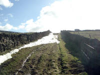
Climbing up out of Diggle we were soon warm, but as the route gained altitude again the winter temperature became more noticeable: as did the remnants of the snowfall which made progress awkward in places.
 |
|
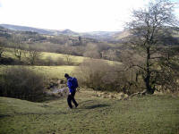
The pleasant rural countryside around Pobgreen was a welcome break from the high plateaux further north, but a stiff climb led back to the heights of the Pennines at Saddleworth Moor.
 |
|
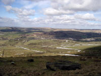
After a short and chilly Geocache stop, we reached the hill top which led pleasantly to the monument at Alderman's Hill.
 |
|
 |
|
A contouring descent led us to the A635, then across the dam wall of Yeoman Hey reservoir.
 |
|
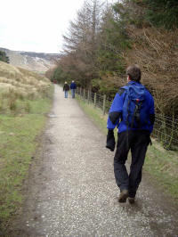
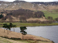
Even though it's a long walk around the edge of Dovestones Reservoir and the Chew Valley, the path is quite level and steady so we were able to chat as we went.
 |
|
 |
|
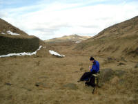
Eventually, there's almost a U-turn as the path crosses the Chew Brook, and we stopped for lunch at one o'clock at the geocache "Chew Valley Station", at the end of the former tramway.
 |
|
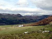
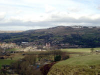
There had been crowds of people walking around Dovestones, but the crowds disappeared as the path turned north-west and led through lovely little plantations on the bracken covered hillside below Wimberry. Eventually, we reached the road at White Gate, then left the Oldham Way to pass the E2 "baton" to the Tameside Trail. This headed south, with great views across the valley of the River Tame.
 |
|
At twenty to three, we were back at the car. After picking up the other car at Standedge we separated: Roger returning to Ilkeston and me venturing further east into Yorkshire.
 |
|
Day 29: 25 February 2006 |
Mossley to Marple |
Map Next Top |
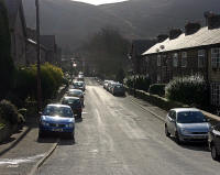
Chrissy and I arrived in England on Friday, via the Sea Cat to Liverpool, heading to Manchester slowly via the Wirral and a friend's new shop in Eccles. We spent Friday evening in Manchester, attending an excellent concert at the new Bridgewater Hall (Shostakovich), staying in a city centre hotel (Novotel). On Saturday morning, having been charged a small fortune for slightly exceeding the parking period in the underground car park, we headed for the hills. The journey was slightly hindered by the badly-arranged diversion to avoid some major motorway junction works: but by ten o'clock we were approaching Carrbrook and the starting point.
 |
|
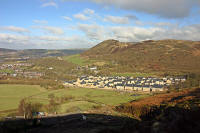
Chrissy drove off to take a relaxed journey meandering to Marple, followed by a visit to Manchester by train. I set off towards the steep hillside to the south-east. It was a little bit tricky to find the route through Carrbrook, but after a few minutes checking, I was climbing up the lane which takes you to the Tameside Trail up Slatepit Moor.
 |
|
There was much relief that the weather looked so good: cold but plenty of sunshine, and it was a delight to be back on the trail after such a long time. So I attacked the rough and awkward path up the hillside with gusto, and was soon up on the beautiful open moorland above.
 |
|
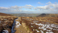
For a while, the path disappeared (or I lost it): but the heather was short and the cold ground firm underfoot, so I soon reached the good track over Turf Pits.
 |
|
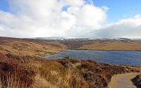
The section down to Swineshaw Reservoir was an absolute gem in the bright sunshine: easy on the legs as not too steep, and the good track allowing time to take in the wide open landscape around. A small bird guided me downwards, sitting on the track until I almost caught up and then flitting forward a few yards - almost all the way to the dam. A couple of guys on mountain bikes passed by, going in the opposite direction - I didn't envy them, as it looked harder work than walking.
 |
|
There was still significant snow lying on the upper hills in the distance, but there were only small patches below 1500 feet so it was unlikely to affect me today.
 |
|
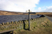
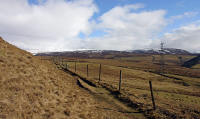
By 11.10 I was walking along the dam wall, heading for the sharp knoll known as Lees Hill. Here I caught the wind, racing through the gap to the west of Lees Hill and making a slight rise feel like a big hill. But the path turns quickly clockwise to contour round Lees Hill, and it felt quite warm as I tramped south-west towards Pack Saddle and the descent to Hollingworth.
 |
|
 |
|
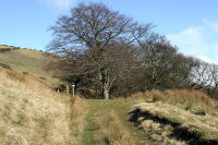
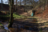
A good, grassy track led downwards at a pleasant gradient, and fifteen minutes of effortless striding took me to the drained reservoir (now a nature reserve).
 |
|
 |
|
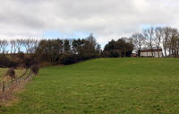
A few places here were boggy, but the soft countryside is very pleasant (it's a pity that it will soon be destroyed by a new road). I've driven through Hollingworth many times: from the main road it looks pretty average, but on foot one has time to notice many attractive houses tucked away in the village. The Trail takes you down to the River Etherow, then suddenly out of the village and into open fields.
 |
|
Although a bank of cloud was making the conditions rather bleak and cold, I sat for a while in the corner of a field and had a small lunch.
 |
|
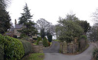
Moving on again at 12.50, I climbed a steep bank to the sheltered path near the Roman fort of Melandra Castle (which wasn't obvious). A little "secret passage" led around the farm to The Hague ( a grand house), and the lane down to Broadbottom.
 |
|
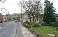
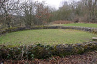
Broadbottom is another unexpectedly attractive village, most interesting along the riverside walk which abounds in Victorian industrial archaeology. It would be well worth stopping here and just making a circuit of the village and river.
 |
|
 |
|
 |
|
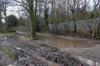
The path was very muddy indeed as I left the west end of the village, but as I entered more open countryside the cloud bank disappeared and the air warmed very nicely.
 |
|
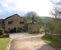
The trail led past some superb cottages (Hodgefold), and across agricultural land to Botham's Hall, between some very desirable residences, and into dappled woodland.
 |
|
Here began a steep climb, gaining about 400 feet in three-quarters of a mile, with ever-improving views of the Etherow Valley. I wasn't quite sure of the correct line, and I think I took a short cut. the Trans-Pennine trail joins the Tameside Trail on Idle Hill and it all gets very confusing. With few signposts and no guidebook, I elected to take the path that suited me. Just after this junction, the OS 1:50000 map has a rare "E2" against the path, so I headed for this section.
 |
|
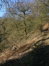
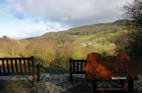
This led along the edge of an airy golf course, then down a good lane to Beacom Houses. A path was marked, branching off the lane and heading south to the edge of Mortin Clough gorge, but on reaching the edge of the ravine seemed to end. There is actually a good footpath along the edge, however, which took me to the Keg Wood Nature Reserve.
 |
|
 |
|
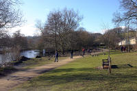
Very good tracks then follow the river through the Etherow Country Park, where throngs of tourists were strolling in the warm sunshine.
 |
|
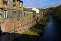
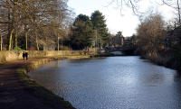
A short road section at Compstall took me to an easy walk across Brabyns Park, over the railway to the tennis courts (in use today!) and canal near the station.
 |
|
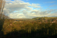
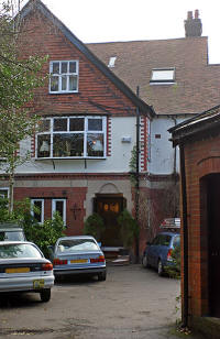
On reaching the main road, the GPS led me easily the short distance to our accommodation at Oakfield Lodge, a large and grand B&B with spectacular views across the valley.
 |
|
 |
|
It was a little tricky to find a suitable restaurant in Marple - there's really not much there - but we did partake of an excellent Indian meal at a restaurant on the main street.
Day 30: 26 February 2006 |
Marple to Bollington |
Map Next Top |
 |
|
A short day was all I could arrange, as we were returning on the 7 p.m. boat from Liverpool. Added to this, we'd arranged to meet my parents in Bollington for lunch, so I had to walk the 10 miles or so before 12.30. As I didn't want to rush this meant leaving by 9 a.m., which I managed with a few minutes to spare.
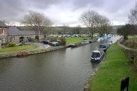
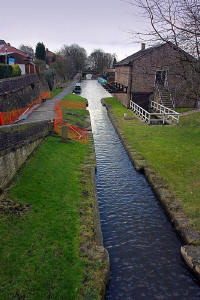
The day was cold and bleak: more like winter again after Saturday's spring-like ending. So I was up to a warming pace straight away, and looking forward to getting a few miles under my belt along the Peak Forest Canal towpath. After half a mile, I reached the major canal junction where the Macclesfield Canal branches off. Heading south from here, I had about three miles of very enjoyable steady, flat walking at the side of the canal, watching the scenery roll by effortlessly and the GPS tick off the remaining miles.
 |
|
 |
|
I almost missed the turnoff, so engrossing was the towpath walk, and had to backtrack a few paces to the small bridge which led to a track rising up, then under a railway bridge into Disley.This pleasant village was once a clearing in the forest: now there is very little woodland left. I was following the Gritstone Trail, so signposts were in evidence to help me identify the official E2 route - again, it's marked on the map here.
 |
|
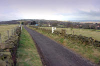
Passing the imposing church of St. Mary, the buildings were suddenly behind me and open countryside ahead. A steady plod along Green Lane gave views of Lyme Park. I had walked most of the Gritstone Trail before, beginning in Lyme Park, so this was familiar territory.
 |
|
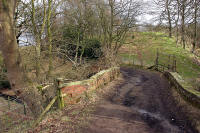
A few patches of sunshine helped brighten up the scenery, which was now rising into more substantial hill country.
 |
|
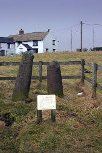
After Bollinhurst Bridge, a longer variant takes the walker to Lyme Park, then across the Deer Park to rejoin the direct route at Bow Stones. I elected for the shorter route, up awkward boggy ground to easy walking up the road to Bow Stones. On the way up the road, hail and sleet reminded me that it was still February and it was too cold to stop for long at the stones. The sign declares the stones to be shafts of Saxon crosses, probably used as boundary markers.
 |
|
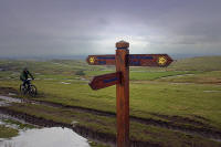
After the climb to 1300 feet, an undulating path leads along the ridge to Sponds Hill, with a viewfinder table and geocache. Patchy snow accentuated the chilly weather, and it was a surprise to see runners pass by in only shorts and light shorts. I always wonder how they dare, when a broken ankle may mean hypothermia in a very short time.
 |
|
 |
|
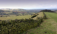
A quick descent to the road led to Brink Farm, and a turnoff to the excellent ridge of Gausie Brow. A good, grassy path made a comfortable surface for the descent to Harrop Brook and the edge of Bollington.
 |
|
 |
|
Chrissy called me five minutes from the Poacher's Inn on Ingersley Road in Bollington to ask when I'd arrive, as she had just parked there. By twenty past twelve I was approaching the pub and saw my parents drive past: perfect timing as no-one had to wait. The pub is recommended: great food for the price, top-class beer and a friendly atmosphere. A fine end to a short day's walk.